


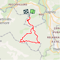
Vers Mortevieille et les Etangs de Dommartin

jeanclaude12
User

Length
13 km

Max alt
848 m

Uphill gradient
429 m
Km-Effort
18.8 km

Min alt
546 m

Downhill gradient
429 m
Boucle
Yes
Creation date :
2014-12-10 00:00:00.0
Updated on :
2014-12-10 00:00:00.0
3h57
Difficulty : Easy

FREE GPS app for hiking
 SityTrail
IGN / Geographical institutes
SityTrail Plus
The world is yours!
About
Trail Walking of 13 km to be discovered at Grand Est, Vosges, Le Syndicat. This trail is proposed by jeanclaude12.
Description
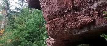
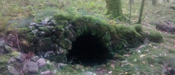
Randonnée agréable partant du Col de Chéneau et passant par le Col de Longeroye, les Roches Morte vieille, l'étang de la Besace, le Grand Étang, et retour par la Houbette et la Vierge Médelle.
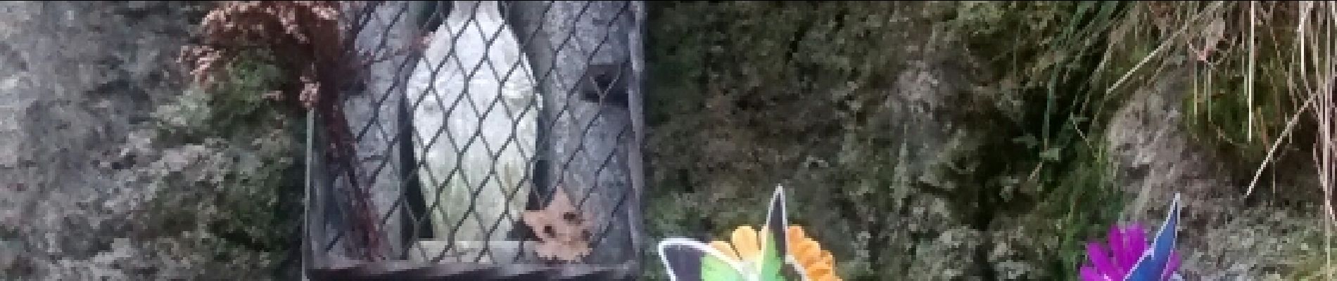
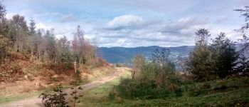
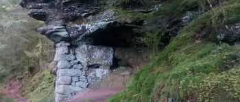
Photos


Points of interest


Positioning
Country:
France
Region :
Grand Est
Department/Province :
Vosges
Municipality :
Le Syndicat
Location:
Unknown
Start:(Dec)
Start:(UTM)
327404 ; 5319366 (32U) N.
Comments